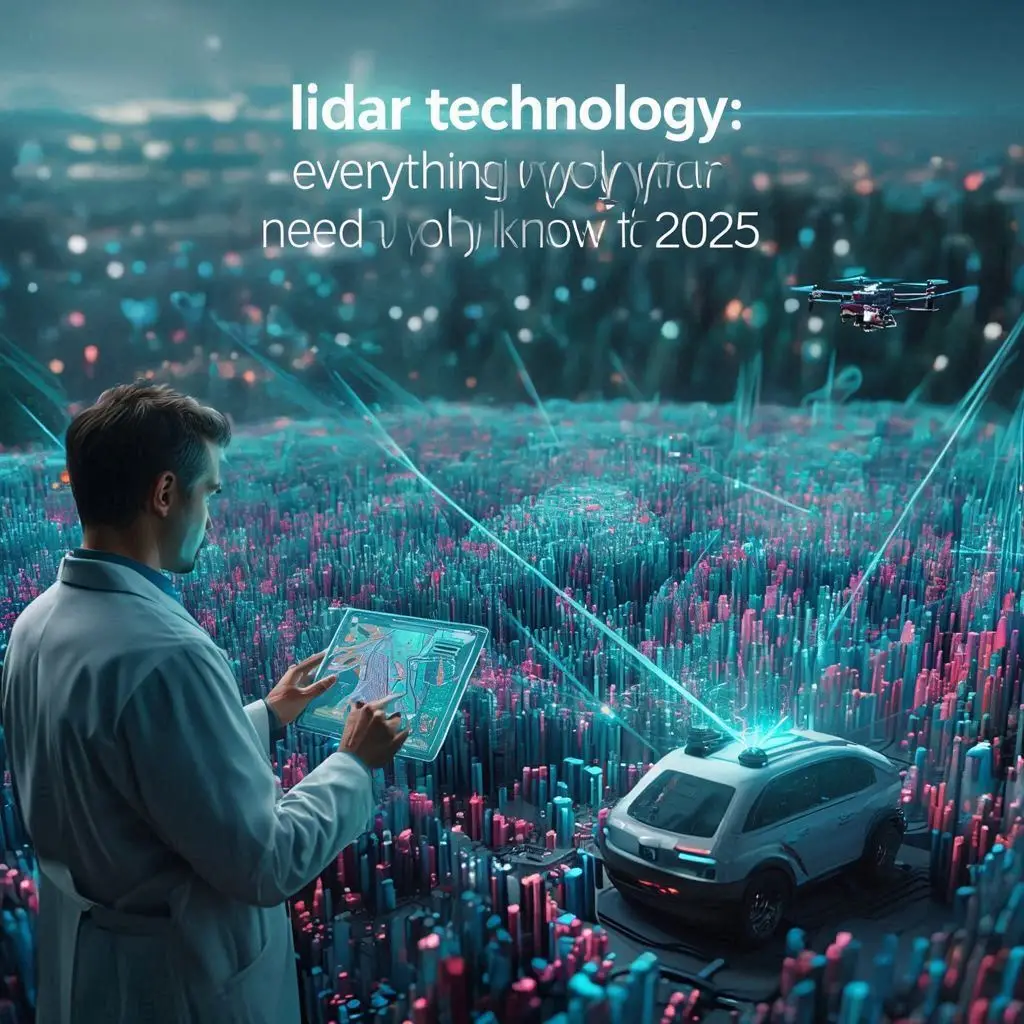
LiDAR Technology: Everything You Need to Know in 2025
Intro Paragraph:
LiDAR technology is revolutionizing the way we map, navigate, and understand the physical world. From autonomous vehicles to environmental monitoring, it delivers precision that no other sensor technology can match.
INTRODUCTION
LiDAR, which stands for Light Detection and Ranging, is a cutting-edge sensing method that fires rapid laser pulses to calculate distances with remarkable accuracy, producing rich 3D data of landscapes and objects. It generates highly accurate three-dimensional representations of objects and terrain, making it invaluable for applications in autonomous driving, surveying, urban planning, forestry, archaeology, and environmental conservation.
Its global search popularity has surged in recent years, driven by growing use in self-driving cars, drone-based mapping, and smart city infrastructure. The LiDAR market is projected to expand rapidly, with new, smaller, and more affordable sensors unlocking fresh opportunities across industries.
LSI Keywords: LiDAR mapping, laser scanning technology, 3D point clouds, distance measurement sensors, autonomous vehicle LiDAR, drone surveying LiDAR.
Summary (SEO Snippet): LiDAR uses laser pulses to create 3D maps with centimeter accuracy, transforming sectors from transport to environmental science.
External Link:
https://www.usgs.gov/core-science-systems/ngp/3dep/lidar-basics
LIDAR TECHNOLOGY (Overview & Applications)
LiDAR systems work by emitting rapid pulses of laser light toward a target. By measuring the time of flight of each pulse and combining that data with GPS and orientation sensors, the system produces 3D point clouds that represent surfaces and objects in detail.
Main Applications:
- Autonomous Vehicles: Detecting obstacles, identifying road edges, and assisting with navigation in all lighting conditions.
- Agriculture: Optimizing planting patterns, monitoring crop growth, and mapping terrain to improve irrigation.
- Forestry: Measuring tree canopy density, estimating biomass, and detecting illegal logging.
- Urban Planning: Creating digital twins of cities for infrastructure development.
- Disaster Management: Mapping flood zones, landslides, and earthquake damage quickly.
Emerging Uses: LiDAR is now being used in archaeology to detect ancient structures hidden under dense forest cover, and in coastal management to monitor erosion patterns.
People Also Ask:
- What is LiDAR best used for?
LiDAR excels at high-precision mapping for navigation, planning, and analysis. - Can LiDAR work at night?
Yes — since it uses laser light, it is independent of sunlight.
Summary (SEO Snippet): LiDAR creates detailed 3D maps for applications in autonomous driving, agriculture, forestry, archaeology, and urban planning.
External Link:
https://earthdata.nasa.gov/learn/backgrounders/what-is-lidar
HOW DOES LIDAR TECHNOLOGY WORK?
At its core, LiDAR technology measures distances using laser pulses. When the beam strikes an object, it reflects back to a sensor. The time taken is multiplied by the speed of light to calculate the exact distance.
Key Components:
- Laser Emitter: Generates rapid, high-frequency light pulses.
- Photodetector (Receiver): Captures reflected signals.
- Scanning Mechanism: Rotates or oscillates the beam to cover a wide field of view.
- GPS & IMU: Provide accurate geolocation and orientation for mapping.
Types of LiDAR:
- Topographic LiDAR — used for mapping terrain and built environments.
- Bathymetric LiDAR — uses green wavelength lasers to penetrate water and map seafloors.
Advantages:
- Works in day or night conditions.
- Provides centimeter-level accuracy.
- Can penetrate vegetation for ground mapping.
Limitations:
- Reduced performance in heavy rain, fog, or snow.
- Data processing requires significant computing resources.
People Also Ask:
- Is LiDAR better than cameras?
For precise distance measurement, yes — but cameras excel at texture and color recognition. - Can LiDAR measure speed?
Yes, LiDAR is used in traffic enforcement to measure vehicle speed accurately.
Summary (SEO Snippet): LiDAR calculates distance using laser pulse travel time, producing high-precision 3D data for mapping and navigation.
External Link:
https://oceanservice.noaa.gov/facts/lidar.html
DOES TESLA USE LIDAR TECHNOLOGY?
Tesla’s CEO Elon Musk has famously declared LiDAR “a crutch,” opting instead for a camera-first approach in the company’s Full Self-Driving (FSD) system. Tesla uses a combination of cameras, radar, ultrasonic sensors, and AI algorithms to interpret the environment.
Why Tesla Avoids LiDAR:
- High costs of LiDAR units (though prices are dropping).
- Belief in vision-based AI scalability.
- Simplified sensor hardware for mass production.
Why Rivals Use LiDAR:
- Companies like Waymo and Aurora argue that LiDAR provides redundancy and safety in perception systems.
- LiDAR excels in object detection under poor lighting or glare conditions.
People Also Ask:
- Does Tesla plan to adopt LiDAR?
As of 2025, Tesla remains committed to camera-based systems. - Why do other carmakers prefer LiDAR?
They prioritize accuracy and redundancy over cost savings.
Summary (SEO Snippet): Tesla relies on cameras and AI for autonomy, while competitors like Waymo use LiDAR for enhanced safety.
External Link:
https://www.reuters.com/technology/tesla-will-not-use-lidar-sensors-2023-04-25/
WHO INVENTED LIDAR TECHNOLOGY?
LiDAR’s history dates to 1961, when engineers at Hughes Aircraft Company developed a laser-based distance measurement system soon after the invention of the laser itself. Its first major use was in atmospheric research.
Key Milestones:
- 1970s: NASA uses LiDAR for space missions, including mapping the Moon’s surface during Apollo 15.
- 1980s–90s: Adoption in aerial topographic surveys.
- 2000s: Miniaturization leads to wider commercial availability.
People Also Ask:
- Was LiDAR invented for the military?
Early research had defense and aerospace applications. - When did LiDAR become affordable?
Costs began dropping significantly in the 2010s with solid-state designs.
Summary (SEO Snippet): Invented in 1961 by Hughes Aircraft, LiDAR was first used in atmospheric research and lunar mapping before expanding commercially.
External Link:
https://www.britannica.com/technology/lidar
LIDAR TECHNOLOGY IN SELF-DRIVING CARS
For most autonomous vehicle developers, LiDAR is the backbone of their perception systems. By continuously scanning the environment, it detects objects, measures distances, and creates 3D maps for navigation.
Benefits in Autonomous Vehicles:
- 360° coverage with rotating LiDAR units.
- Accurate depth perception up to hundreds of meters.
- Works reliably at night and in partial weather interference.
Challenges:
- High hardware cost (though solid-state LiDAR is reducing this).
- Bulkiness compared to camera modules.
People Also Ask:
- Can a self-driving car work without LiDAR?
Yes, as Tesla shows, but many experts argue LiDAR adds critical safety.
Summary (SEO Snippet): LiDAR enables real-time, precise environment scanning for safe autonomous vehicle navigation.
External Link:
https://www.sae.org/news/2021/09/lidar-in-autonomous-vehicles
FUTURE TRENDS IN LIDAR TECHNOLOGY
The global LiDAR market is projected to exceed $5 billion by 2030.
Emerging Trends:
- FMCW LiDAR — offers higher range and weather resilience.
- Integration into smartphones for AR applications.
- Miniaturization for drones and robotics.
- Smart city infrastructure — traffic flow monitoring and crowd management.
People Also Ask:
- Will LiDAR replace radar?
Not entirely — both have complementary strengths.
Summary (SEO Snippet): LiDAR is evolving toward smaller, more affordable, and more versatile systems for consumer and industrial applications.
External Link:
https://www.marketsandmarkets.com/Market-Reports/lidar-market-1261.html